
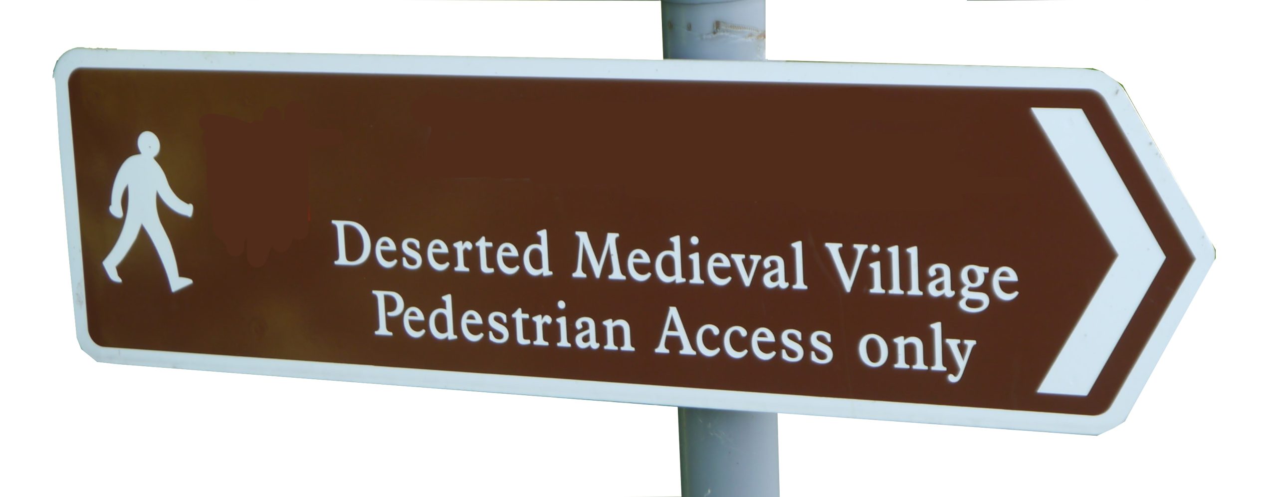
During the study of medieval settlements, many terms are used, sometimes not in a clearly defined way; others are argued over and debated. Some of these differences have antecedents in the past; the way settlements were recorded by the authorities of the day. Others have developed over a long period of time and are surrounded in local identity and character. This section looks at a number of these issues. We start with the classes of settlements themselves – village, hamlet and farmstead. We then move to the pattern of settlement – nucleated villages as opposed to dispersed hamlets and farmsteads – often used as one of the prime definitions in the differences in landscape character across the country. The units of parish, township and tithing will be explored. Finally a few observations will be made about the need for a standardised approach to classification on databases regarding settlement that can make any overall view of desertion a difficult task to undertake.
Village or hamlet?
Many different names can be given to a settlement. However the names that we currently use can refer to a multitude of different scales and functions. Also the words used to describe these settlements are regionally specific with a village in one area being a hamlet in another. The Medieval Settlement Research Group distinguished the difference between a village and a hamlet with a minimum village size of six households, but this really does not consider the regional variety. Jones suggests that the traditional formula for a village was 6 to 60 households which could equate to 30 to 300 people (Jones 2010: 11, for an example see Lewis et al. 2001: 5). Any larger than this would be a town. The regional variety here is key. Other authors have suggested that a village threshold could be placed at 15 or 20 households (Jones 2010:11).
If size is regionally specific, then perhaps a functional definition may play a role in understanding the difference between village and hamlet. Early attempts include Aston’s suggestion that a village had a separate field system, managed communally and its own church (1985: 82). The most convincing recent distinction between the two has been proposed by Jones (2010). Here it is dependency that is the key distinguishing factor between village and hamlet. Villages were places that are assessed separately for taxation in the Middle Ages and can be a centre for both secular and ecclesiastical authority (Jones 2010: 14). Hamlets may have had their own name, and therefore identity, but would be assessed for taxation with other settlements and would be administered from a centre elsewhere (Jones 2010: 14). Settlements may change over time and may move from hamlet to village and vice versa. Currently this definition, although appealing is not used by this website as in many cases the detailed information on the function of the settlements is not known. Instead the website has taken a regional approach which has compared the general pattern of settlement in the area, and distinguished between the larger villages and smaller hamlets on this regional basis, and not on any arbitrarily defined national figure.
Polyfocal settlement is a term that has been used to describe settlements that do not develop with one single core, but may develop or spread out over a wider area, and may in fact have a number of separate concentrations of settlement (Taylor 1977). In some cases these different clusters at a later date may form the basis for a much larger nucleated settlement, in others they may continue as smaller hamlets and be ‘hidden’ from the record as separate settlements because they are always associated with one another. In many cases a single village name is assigned to all the settlement parts.
Nucleated and dispersed settlement
Nucleated villages as the main type of settlement did not develop everywhere. In some areas the settlement is dispersed – smaller hamlets and farmsteads dominate the pattern. These differences in the character of settlement, and more widely across the English landscape, have been noticed since the writings of the early topographers such as Leland. Early commentaries on the landscape of England identified two separate zones – those titled ‘champion’ and those often identified as ‘woodland’ (Roberts and Wrathmell 2002). In general terms the ‘champion’ regions were characterised by large areas of open fields and nucleated settlement, compared to the ‘woodland’ regions which had a greater quantity of early enclosures surrounded by hedgerows and woodland alongside a dispersed settlement pattern (Roberts and Wrathmell 2002). The area of champion is usually defined as a swathe of country from the North Sea running diagonally across central England to the English Channel. This early definition of the character of the English countryside has often revolved around the nature and development of field patterns, and as a consequence has focussed on settlement patterns and agricultural practices in different regions, particularly the development of open field systems.
Discussions on the development of field systems began in the 1890s but it was the publication of Gray’s (1915) English Field Systems that began the full-scale analysis of the development of field systems, and therefore the overall nature of the character of the majority of the English landscape. In his analysis of field systems, Gray (1915) distinguished different types of system and noted that they were often restricted to different regions which he interpreted as reflecting different historic racial populations within each of these regions. Since this early work, the definition of the regional characteristics of the landscape has developed in a variety of ways, but many hark back to a sub-division similar to that proposed by Gray. Fox (1932) also looked towards immigrant populations to explain variations, but also noted the divisions in the physical landscape. However, over time studies dismissed the racial origins of the different regions and developed more detailed analyses of characteristics other than just those of the field systems (Homans 1941, Thirsk 1964, Baker and Butlin 1973).
In his History of the Countryside, Rackham (1986) identified three broad zones of landscape in England with the central broad swath termed ‘planned’ countryside and the two on either side as ‘ancient’ countryside. To the north and west were areas of uplands. The planned landscapes consisted of areas created during the Enclosure Acts of the eighteenth and nineteenth centuries, when the open field systems of the region were converted into neat parcels of land, and are concentrated in an area from East Yorkshire, through Lincolnshire, into the Midlands and down to the south coast. There were few woods and roads, and settlements were characteristically villages with a few isolated farms. The ancient landscapes were a result of the piecemeal development of the field systems, often with associated walls and hedges, over many centuries. Settlements consisted of hamlets and small towns, and there were many roads and woodlands. The two areas of ancient landscapes include the rest of lowland Britain, with on one side, the area of southern East Anglia, the Thames Valley and Kent coast. On the western side, this area includes much of the marcher counties on the Welsh border, south to Somerset. Rackham (1986) also noted a number of highland zones which again show a different pattern of development.
The subdivision into these large regions in many ways has been seen to be too simplistic. Recent study by Roberts and Wrathmell (2002) has re-assessed the rural settlement of England and divided the country into three provinces (almost coincident with Rackham’s zones) and then each of these is subdivided into further sub-provincial divisions. The three main zones have been called the Northern and Western Province, the Central Province and the South-eastern Province. The Central Province equates to the area identified by earlier studies of landscapes as ‘champion’, but within this region ideas of open fields and communally organised farming are not as clear-cut as has been suggested elsewhere. The provinces on either side of the Central Province are distinguished by more trees and areas of woodland. There are also more enclosing hedgerows and hence a less open landscape. Roberts and Wrathmell (2002) argue that these three provinces had begun to emerge before the ninth century and may even date further back to the Roman period.
Of the many different surveys of the nature of the landscape, one thing comes through them all. That there is a central strip running across the country which was characterised by open-field landscapes and usually nucleated settlement. On either side of this was a landscape dominated by dispersed settlement (Jones and Hooke 2012: 41). Of course this does not preclude regional variety within these zones. And whilst there is often agreement over the existence of these three zones, there is debate on their exact boundaries (Jones and Page 2006: 4). In some areas a nucleated pattern can sit next to dispersed settlement contrasting on a local rather than regional scale (see Rippon 2008).
Parish, Extra-parochial, Township and Tithing
As well as the divisions of settlements into villages, hamlets and farms, there are also other units used to record and describe places. The upper level administration was often defined as the parish and extra-parochial. Parishes were divisions with origins in ecclesiastical purposes but also had other administrative functions. It dictated to which church people had to attend services, where they buried the dead and to who they paid their tithes (Winchester 1997). Extra-parochial settlements were outside the parish system, therefore not subject to rates. Parishes were often subdivided and these divisions have different names in different regions but are often referred to as townships. Not only did the name of the division vary across the country but there is also variety in the makeup of such divisions. In southern areas there is a tendency to see one township per parish, whereas in northern areas multi-township parishes are more common (Winchester 1997). Of course there is variation with this as well. One area that also had a further unit was that of Wessex covering Berkshire, Cornwall, Dorset, Gloucestershire, Hampshire, Somerset, Surrey and Wiltshire. Here the tithing is often used instead of township, which was a descendant of an Anglo-Saxon system (Winchester 1997).
Issues of definition on online databases
This website has just tackled the list of deserted settlements from 1968. In this day and age with the advent of many online sources and datasets, you may think that an update of this original list to include all those settlements identified since would be an easy task. One problem which has become apparent during the process of creating this website is the inconsistency of recording between different data agencies. Firstly the appearance online of many datasets such as the National Monuments Record and Local Historic Environmental Records has made possible the quick and easy location of information about certain settlement sites on the 1968 list. As with all datasets there are some problems – different spellings of place names, or sites now being identified with a different place-name. Of course not all sites in the 1968 Gazetteer appear on these records. The main problem comes however when not searching for a specific site, but when trying to establish a master list of settlements, whether village, hamlet or farmstead that have been deserted, shrunken or at some point lost population. On some records, the term deserted settlement is used to classify the site type and a search returns many of the known settlements. On other records the term deserted has not been used– perhaps as a way of avoiding the interpretation of the evidence and leaving this to the reader. Hence all deserted settlements are amassed together with medieval settlements, which also include all settlements that persist to the present day. Also villages that have been removed from the list since 1968 also still appear on the record – although the supporting information may allude to its removal and dismissal as a lost settlement.
An example of the differences can be seen on one search using different sources. Pastscape provides access to the National Monuments Record. This can be searched on its own website or through the combined search engine of Heritage Gateway which looks at this source as well as many others. Using the English Heritage Thesaurus defined site type – deserted settlement – a search on Pastscape itself reveals 3732 records, whilst a search via Heritage Gateway produces 2577 records – over a thousand fewer. Also all records are being constantly enhanced but at different rates. For example the total number of deserted settlements listed on the Local HERs retrieved via Heritage Gateway in November 2013 was 2956, and the same search in October 2014 retrieved 3357 records. This may suggest a general addition to the records, but includes two counties where the search retrieved zero records in 2013, but now retrieved a number of sites, and seven counties where the number had reduced. Another example of difficulties can be seen with the example of Kent. The 1968 Gazetteer recorded 69 deserted medieval villages in Kent. A search of the HER via Heritage Gateway reveals 50 results – of which 36 are from the Gazetteer and 14 sites are not listed in 1968. The HER does list settlements that it classes as ‘doubtful’ DMVs so it is unclear why there are 33 from the 1968 Gazetteer that do not appear, even if they have been dismissed since 1968. It is clear that deserted settlement is a term that is not consistently used.
It is hoped that over time these issues can be ironed out, and that this website can play a part in enhancing the record by producing a consolidated list of deserted settlements of all types and can provide a way of standardising the approach to the recording of these settlements so that more nuanced mapping of desertion can be attempted. Through this resource clearer understanding of the variety of causes of desertion can be produced. The next section tackles this wide variety of reasons for desertion.
References
Aston, M. 1985. Interpreting the Landscape. London: Batsford.
Baker, A.R.H. and R.A. Butlin 1973. (eds) Studies of Field Systems in the British Isles. Cambridge: Cambridge University Press.
Fox, C. 1932. The Personality of Britain. Cardiff: National Museum of Wales.
Gray, H.L. 1915. English Field Systems. Cambridge, Massachusetts: Harvard University Press.
Homans, G.C. 1941. English Villagers of the Thirteenth Century. Cambridge Massachusetts: Harvard University Press.
Jones, R. 2010. ‘Contrasting Patterns of Village and Hamlet Desertion in England’, in C. Dyer and R. Jones (eds) Deserted Villages Revisited: 8-27. Hatfield: University of Hertford Press.
Jones, R. and D. Hooke 2012. ‘Methodological Approaches to Medieval Rural Settlements and Landscapes’, in N. Christie and P. Stamper (eds) Medieval Rural Settlement Britain and Ireland, AD 800-1600: 31-42. Oxford: Windgather Press.
Jones, R. and M. Page 2006. Medieval Villages in an English Landscape. Bollington: Windgather.
Lewis, C., P. Mitchell-Fox and C. Dyer 2001. Village, Hamlet and Field. Macclesfield: Windgather Press.
Rackham, O. 1986. The History of the Countryside. London: Dent.
Rippon, S. 2008. Beyond the Medieval Village: The Diversification of Landscape Character in Southern Britain. Oxford: Oxford University Press.
Roberts, B.K. and S. Wrathmell 2002. Region and Place: a Study of English Rural Settlement. London: English Heritage.
Taylor, C.C. 1977. ‘Polyfocal Settlement and the English Village’, Medieval Archaeology 21: 189-193.
Thirsk, J. 1964. ‘The Common Fields’, Past and Present 29: 3-29.
Winchester, A.J.L. 1997. ‘Parish, Township and Tithing: Landscapes of Local Administration in England before the Nineteenth Century’, Local Historian 27: 3-17.